
Whitefield–Hoskote Road (SH-35) to KIA Airport: Best Routes, Travel Time
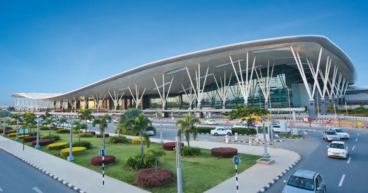
Travelling from Whitefield–Hoskote Road (SH-35) to KIA Airport, officially known as Kempegowda International Airport, involves choosing a route based on your starting point, traffic conditions and departure time. The corridor stretches across East Bangalore, so the distance and journey duration can differ considerably between Whitefield-side locations and Hoskote.
For planning purposes, allow around 60–90 minutes from the broader Whitefield–Hoskote corridor, with additional buffer during peak traffic or adverse weather. This is a general planning range, not a guaranteed journey time. Check live navigation before departure, particularly when catching a flight.
Whitefield–Hoskote Road to KIA Airport: Main Route Options
Two practical route patterns are worth comparing: travelling via Budigere Road and SH-104, or heading toward the airport through the Hoskote and national-highway network. The most suitable option depends on your precise starting location and current traffic.
Route 1: Via Budigere Road and SH-104
This route is relevant for locations with convenient access to Budigere Road. From the Whitefield–Hoskote Road area, proceed toward Budigere Cross, connect to SH-104, and follow the airport approach roads toward the terminal.
SH-104 has been identified as an alternative approach to the airport intended to help traffic from eastern and southern Bengaluru avoid relying entirely on the NH-44 approach.
When to consider it: Compare this route when travelling from the Budigere Cross side or when live navigation indicates that the approach is moving steadily.
Route 2: Via Hoskote, NH-648 and NH-44
Travellers starting closer to Hoskote can check routes using the NH-648 corridor and connections toward NH-44, which leads north toward the airport. The exact connecting roads depend on the starting point and current road conditions.
This option may be useful when the origin is on the Hoskote side rather than nearer Whitefield. However, a route that appears shorter on a map may take longer if it passes through busy junctions or roadworks.
Hoskote to Airport: Indicative Distance and Travel Time
Route estimates vary by starting point and navigation service. Available route references place the road journey from Hoskote town to the airport at roughly 39–41 km, with example estimates ranging from about one hour to just over one hour. Treat these as indicative figures rather than fixed timings.
Starting area or route
Indicative planning guidance
Hoskote town
Around 39–41 km; approximately 1 hour or more, depending on traffic
Whitefield-side corridor
Allow roughly 60–90 minutes; confirm using the exact address
Via Budigere Road and SH-104
Compare live route time and congestion
Via Hoskote and NH-648/NH-44 connections
Useful to check for Hoskote-side origins
The Whitefield-side corridor covers multiple localities, so a single distance figure would be misleading without a specific starting address.
Whitefield–Hoskote Road to KIA Airport: When to Leave
Airport travel requires planning beyond the estimated driving duration. Morning and evening traffic, rain, road maintenance, incidents and terminal access queues can all affect the total trip.
For domestic flights, allow enough time for the drive, check-in and security procedures. For international flights, plan a larger buffer according to your airline’s instructions. During uncertain traffic conditions, leaving earlier is generally more practical than relying on an optimistic navigation estimate.
Before Starting the Journey
Enter your exact pickup point and terminal into a live navigation app.
Compare at least two route options before departure.
Check for traffic alerts, diversions and road closures.
Confirm whether your flight departs from Terminal 1 or Terminal 2.
Keep extra time for parking, drop-off and terminal entry.
Public Transport and Airport Bus Options
Travellers without a private vehicle can check airport bus services from nearby stops. Service availability, frequency and boarding points depend on the specific locality and travel time. Confirm the current schedule and the nearest suitable stop before relying on a bus connection.
A taxi or app-based cab may provide a direct trip from the corridor, while a bus journey may require additional time to reach the boarding point and account for waiting.
Travel Summary
The route from Whitefield–Hoskote Road to KIA Airport is not identical for every traveller. Budigere Road and SH-104 are useful route options to compare, while Hoskote-side journeys may use NH-648 and connections toward NH-44. Use the exact starting address and live traffic conditions to select a route, and include a time buffer for airport procedures.